At Lottie I again saw the huge "hump yard" the Union Pacific has there. After chasing rail ghost for hundreds of miles, I decided to chase a live one. I'd follow the Union Pacific down to Grosse Tete on I-10 where it takes off across the swamp. Then I'd loop around and find where it reemerged. On the way I'd catch what I could where this rabbit led me. Along the way is La.77, a truly wonderful road connecting US190 to Plaquemine. I was further driven to investigate the reemergence by a story Mike Wilson had told me. There had been a railroad related tragedy near that point when the line was run by the Texas and Pacific RR.
This one is going to go slowly. I don't have the stamina for many hours of writing at one time anymore, especially after a long hot ride.
I'm cutting the ride track map into tiny pieces to reflect the short pages.
You're getting onboard just east of Krotz Springs. There is always something new to see in KS, but first I had to visit Old US 190, the road of my youth. Remember, all the maps and pictures are just thumbs. Click them and they enlarge, hit the back arrow on your browser to return or open them in new windows to avoid that.

.jpg)
This is a board road. It is used to allow heavy machinery to cross soft land. There is a pipeline being built nearby. 190 is mid picture.
.jpg)
.jpg)
Over the levee the old road stretched out.
.jpg)
You are looking at some very old cement.
Off to the sides of the many bridges are hints of what this road was called to conquer.
.jpg)
I returned to the back road into Krotz Spings.
.jpg)
At the time I was just shooting stuff. An old fire truck seemed a good subject.


Pretty cool.
I crossed the Atchafalaya and then the 6 mile bridge arriving in Lottie. I immediately got off of 190 onto 81 which goes through Blanks.
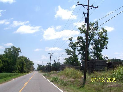
I saw the stacks of wood on the south side.
.jpg)
At the hump ahead was this.
.jpg)
The railroad hump in the road was not to what the sign referred.
Humping in railroad lingo is where a rail car is pushed up a little hill and then allowed to roll down the other side. Its route is controlled by switching rails from one track to another. If it gets going to quickly, there are brakes along the way. The process is used to assemble freight trains.
This is the entrance to the yard. Oh, what about the stacks of wood? It's a wood product company. How am I suppose to know? I'm just a clueless amateur photographer.
.jpg)
81 ends at 77. I took 77 south paralleling the rails and yard. Along the way, an old sugar mill stack still stands.
.jpg)
.jpg)
The lines of cars can be seen off in the distance producing a thin border between land and sky. I found that poetic, you?
.jpg)
So that train with no engineer wasn't a ghost train!
.jpg)
I entered Maringouin (mear OH guin).
I have never spent any time there and since I'd canceled the circumnavigation of the Basin, I felt like I had plenty. I'd look it over.
This is coming into town. That's Bayou Maringouin down there. I will learn how to spell that word. It means "mosquito" in French. I wonder why they'd name a place that? Wait until dusk.

.jpg)
That's all natural, no landscaping.
.jpg)
I crossed the bayou and rolled into town.
The tracks, fresh from the hump yard, lay in front of me.
It's 11:11, time to put it away. CLICK HERE FOR PAGE 2